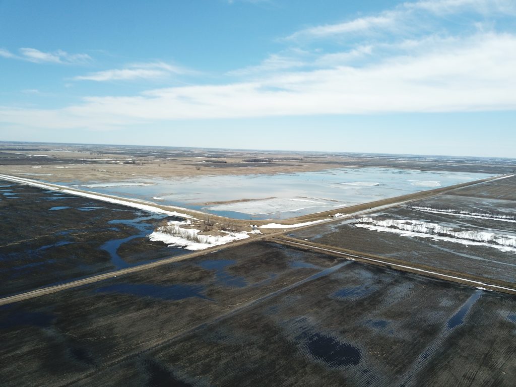
The Brandt Angus Coulee (BAC) impoundment is a multi-purpose off channel flood control project combining flood control and environmental enhancement features through Wetland Reserve Program (WRP). This project directly relates to the the District’s Watershed Management Plan in reducing downstream flooding, improving water quality and improving the natural resources of the District. Construction began in 2012 and was operational in 2013. It occupies approximately 1.5 sections of land (960 acres) 3.5 miles southeast of Angus in Polk County. The drainage area above the project is about 14.4 square miles. The impoundment can hold 5,213 acre-feet of water (3,968 acre feet of gated and 1,245 of ungated to the emergency spillway) from a calculated 7.26″ of runoff.
BAC project partners are the Red River Watershed management Board and the MN Department of Natural Resources through the Flood Damage Reduction Program and the MSTRWD. With the natural resource enhancements incorporated into the project, a 65% State, 35% local cost share was obtained. In addition, the District was able to utilize the Natural Resource Conservation Service Wetland Restoration Program (WRP) to offset land acquisition costs. Over 575 acres were enrolled into a conservation easement at a savings of over $450,000 to the project. Restoration of wetlands relates to the District’s Watershed Management Plan by increasing quality wetlands.