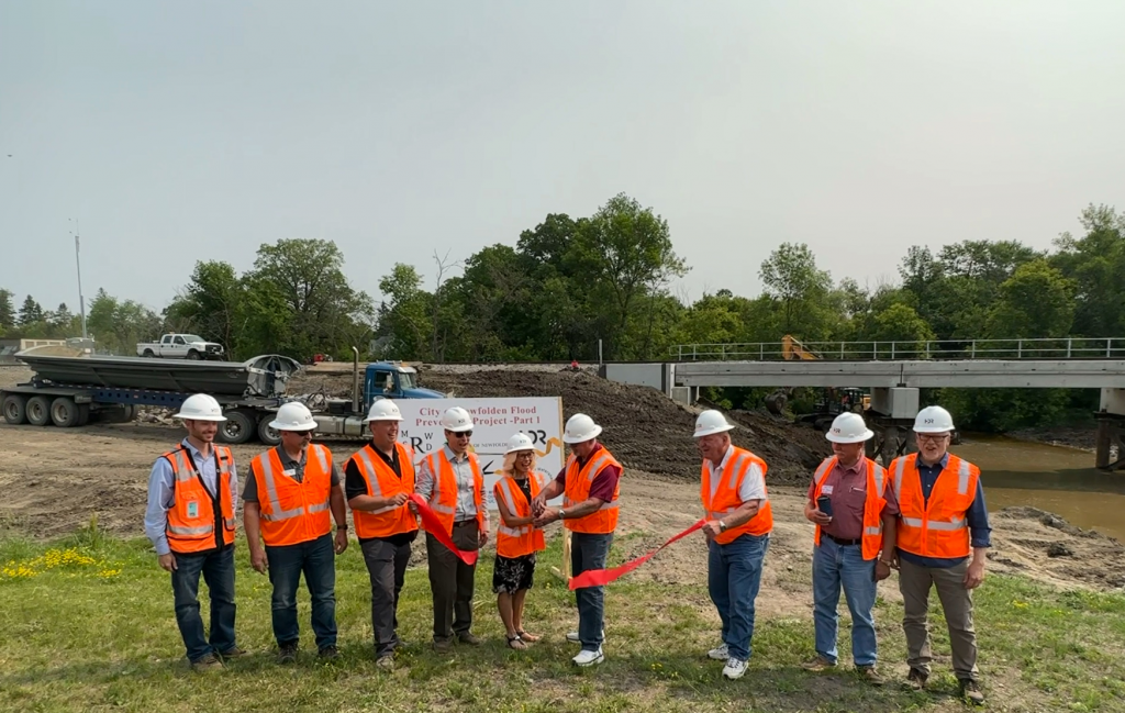

In 2016, the City of Newfolden was mapped by the Federal Emergency Management Agency (FEMA) as part of its nation-wide digital mapping initiative. As a result, almost the entire east side of Newfolden was identified as being in the 100-year floodplain. The floodplain designation lead to the creation of a Project Work Team and partnership with a goal to mitigate the risks that floodwaters pose to the City of Newfolden, as well as the inevitable impacts the floodplain designation may have to the community.
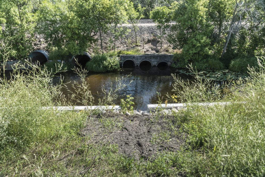
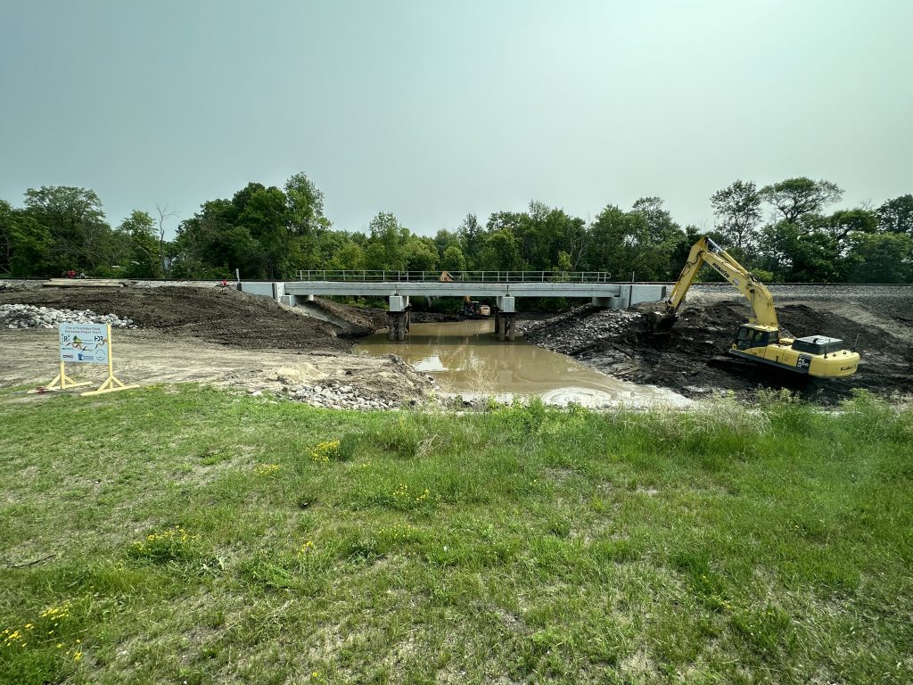
The Project Work Team developed a comprehensive solution to minimize the impact that a 100-year flood could pose to the City. It was determined that several culverts that pass under the existing rail line are in need of replacement and are insufficient to convey peak water flows on the Middle River. This may result in flooding east of the railroad tracks and potential damage to the railroad infrastructure. A new, bridge structure will replace these culverts and allow for peak flows in the Middle River to sufficiently pass through town. A 396-acre impoundment located north of the City will prevent overland flows from Judicial Ditch 21 from entering the City by temporarily storing the water. The stored water also offsets the peak flow increase downstream of Newfolden as a result of the new railroad bridge.