Middle Snake Tamarac Rivers Watershed District
About
Board Meetings
Agendas
Minutes
Schedule
Meeting Link
District Projects
Angus-Oslo 1
Angus-Oslo 4
Agassiz Valley
Brandt Angus Coulee
PL-566
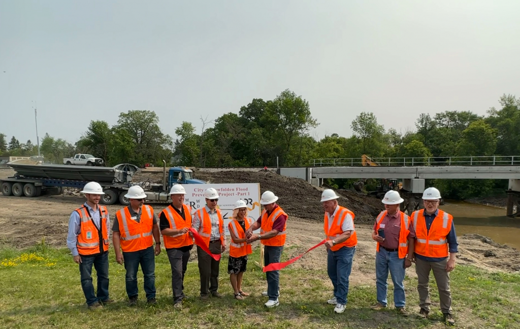
Newfolden
Nelson Slough
Swift Coulee
Lilac Ridge
Permits
Drainage Permit
Drain Tile Forms
Completion Forms
Hunting Permits
District Programs
One Watershed One Plan
Rainfall Program
Snow Survey
WRAPS
Notices
Public Hearings and Events
Contact Us
Resources
Annual Reports
Amended Rules
Public Meetings and Events
Board Meetings
Minutes
Agenda
Public Hearings and Events
Notices
<
August 2026
>
Mon
Tue
Wed
Thu
Fri
Sat
Sun
1
2
3
Board Meeting
at 8:30 am
4
5
6
7
8
9
10
11
12
13
14
15
16
17
Board Meeting
at 8:30 am
18
19
20
21
22
23
24
25
26
27
28
29
30
31
Ongoing District Projects
Newfolden Flood Prevention Project
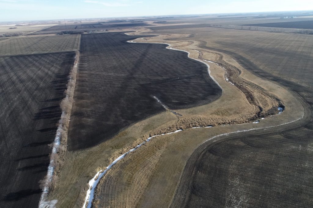
Swift Coulee Channel Restoration Project
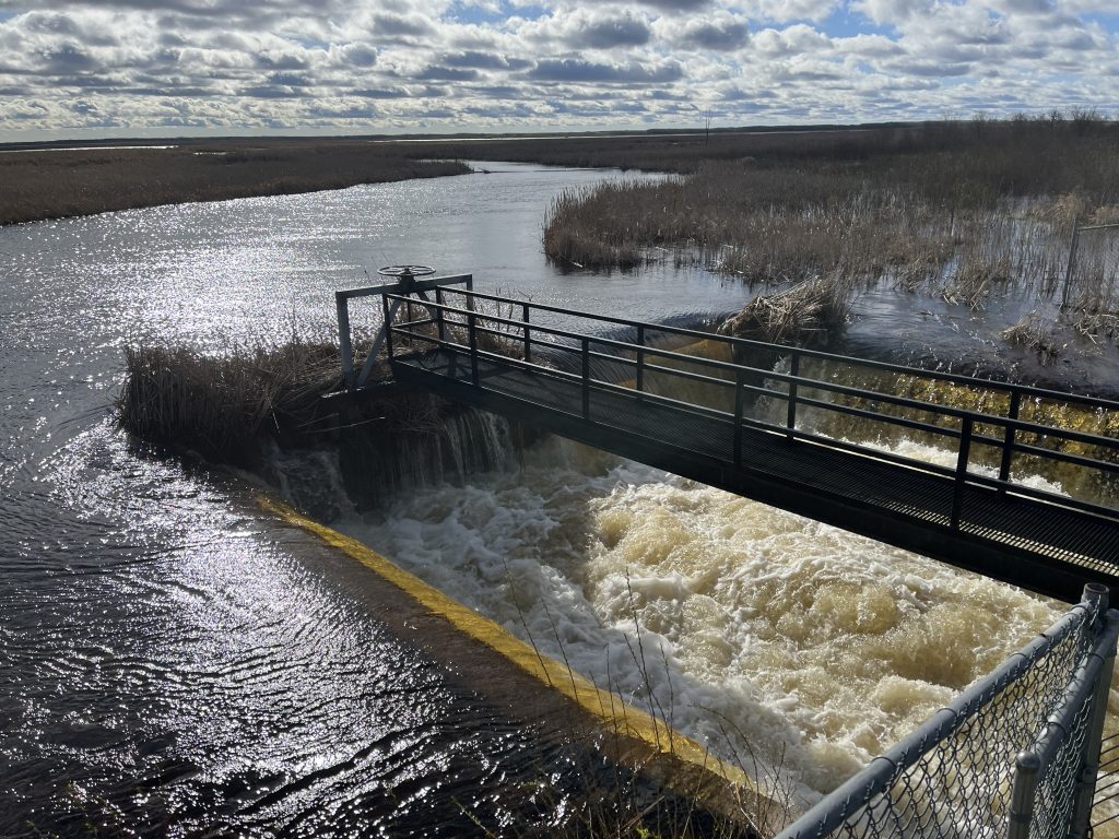
Nelson Slough / JD 19 Project
Rules and Permits
Amended Rules
Drainage Permits
Hunting Permits
Hunting Maps