Swift Coulee Channel Restoration Project
The Swift Coulee’s drainage area starts approximately ½ mile southeast of the Old Mill State Park. The flow of the drainage area is primarily to the southwest with the coulee ultimately emptying into Marshall CD #3, 1.2 miles west of US Hwy #75. CD #3 drains westerly for 11 miles before it terminates at the Snake River.
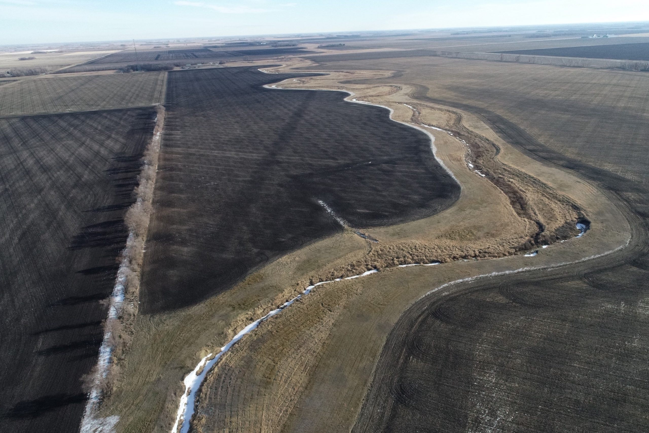
The Coulee regularly overtops its banks causing local flooding. Sediment in the Swift Coulee causes a bottleneck to flow on the west side of US Hwy #75. Flooding issues along CD #3 sees water leaving the ditch both on the north and south sides, as there is no set spoil or road height to control outbreaks.
The District has been holding meetings off and on with landowners dating back to 2006 with a Project Work Team officially being established in 2016. Through the PWT process, a preferred alternative involving channel restoration and setback levees to containing excess flood waters.
Project Work Team and Public Meetings
What’s New / Ongoing
After nearly 20 years of planning, designing and landowner meetings, Phase 1 of the Swift Coulee Channel Restoration Project is underway! The lower 4 miles of the Coulee will see the establishment of a meandering low flow channel, setback levees and spillways for flood damage reduction benefits all while improving water quality and providing wildlife habitat benefits. Surveying and Design work are underway for Phase 2 with preliminary conversations and landowner meetings in the works.